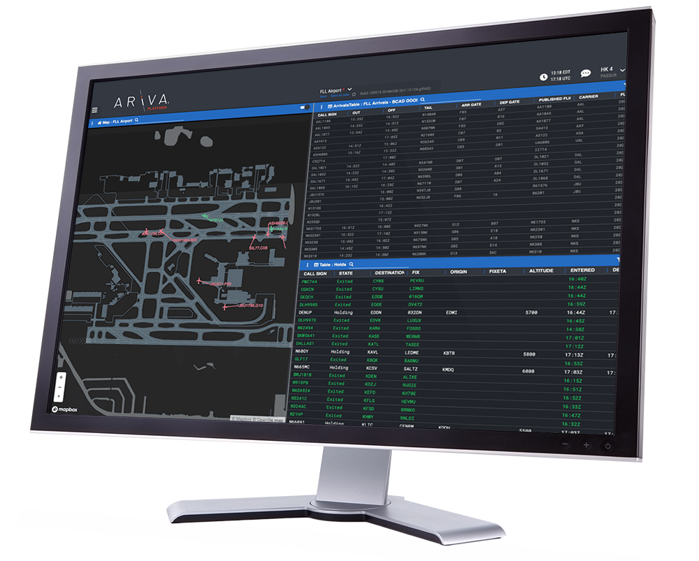
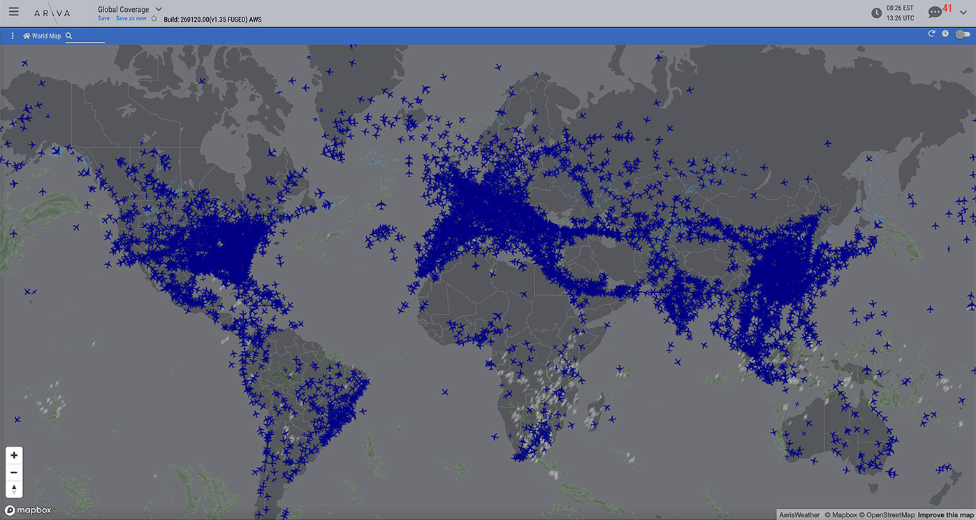
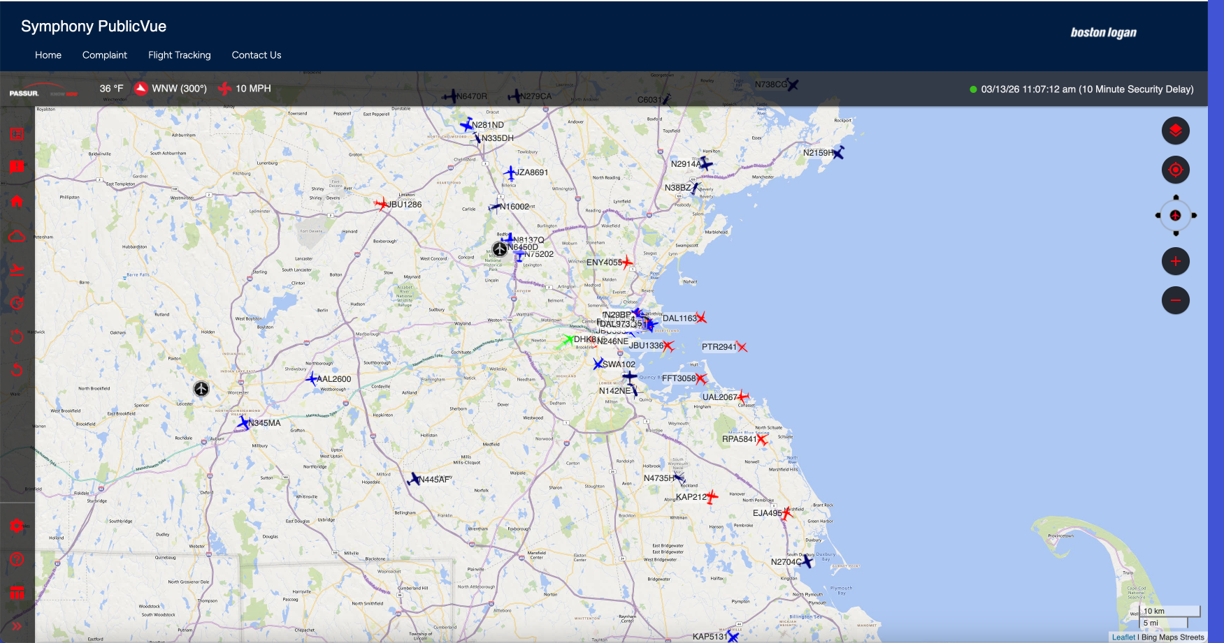
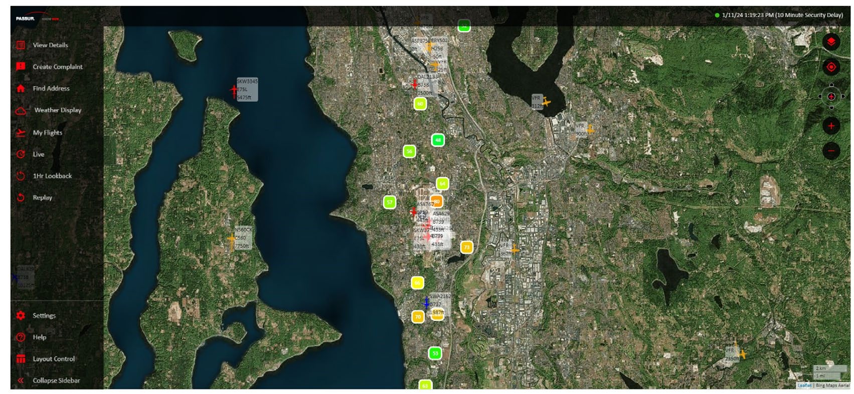
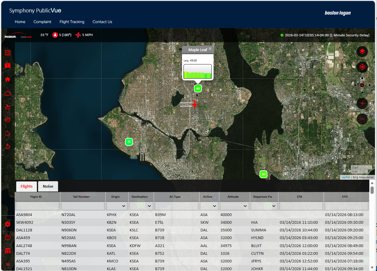
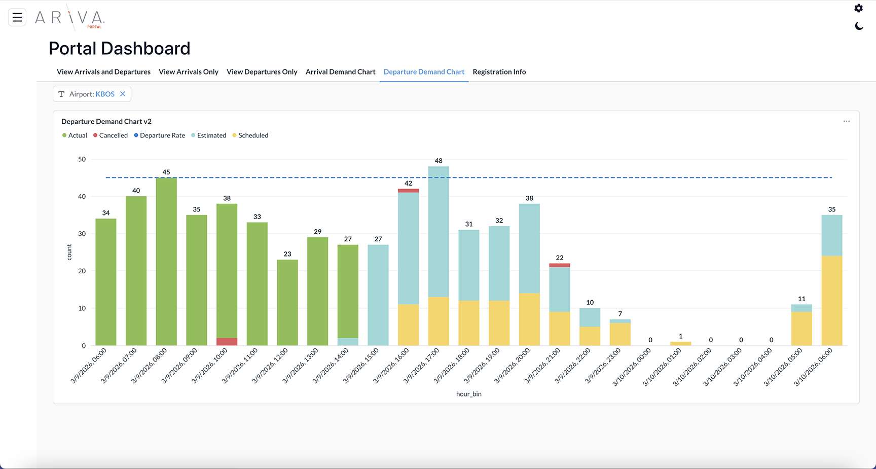
ARiVA PublicVue is a web-based platform designed to provide the public with accurate, comprehensive, and trustworthy visualizations of aircraft traffic. It uses PASSUR’s integrated surveillance data (including ADS-B) to deliver an extensive view of flight activity near airports. The tool offers powerful analytics, lets users pinpoint or focus on specific addresses, see flight movements almost instantly, and search for past flights. With PublicVue, users can tailor their experience by choosing different maps, adjusting display features like icon colors and sizes for aircraft, setting up data tags, and organizing data through sorting, filtering, or grouping within tables.
Key features of PublicVue include:
The airport community has multiple ways to file noise complaints or comments. PublicVue provides an online form accessible with or without login, enabling the airport to choose whether community registration is required or not for submissions. All complaint and comment data are saved in the EnvironmentalVue database for further review, analysis, and reporting.
Community Engagement
PASSUR can work with an airport to provide a customizable toolset that enables constituents to access information about aircraft operations and their impact. PASSUR will work with airport to determine preferred community page layout and features, integrating specific content from EnvironmentalVue and/or PublicVue.
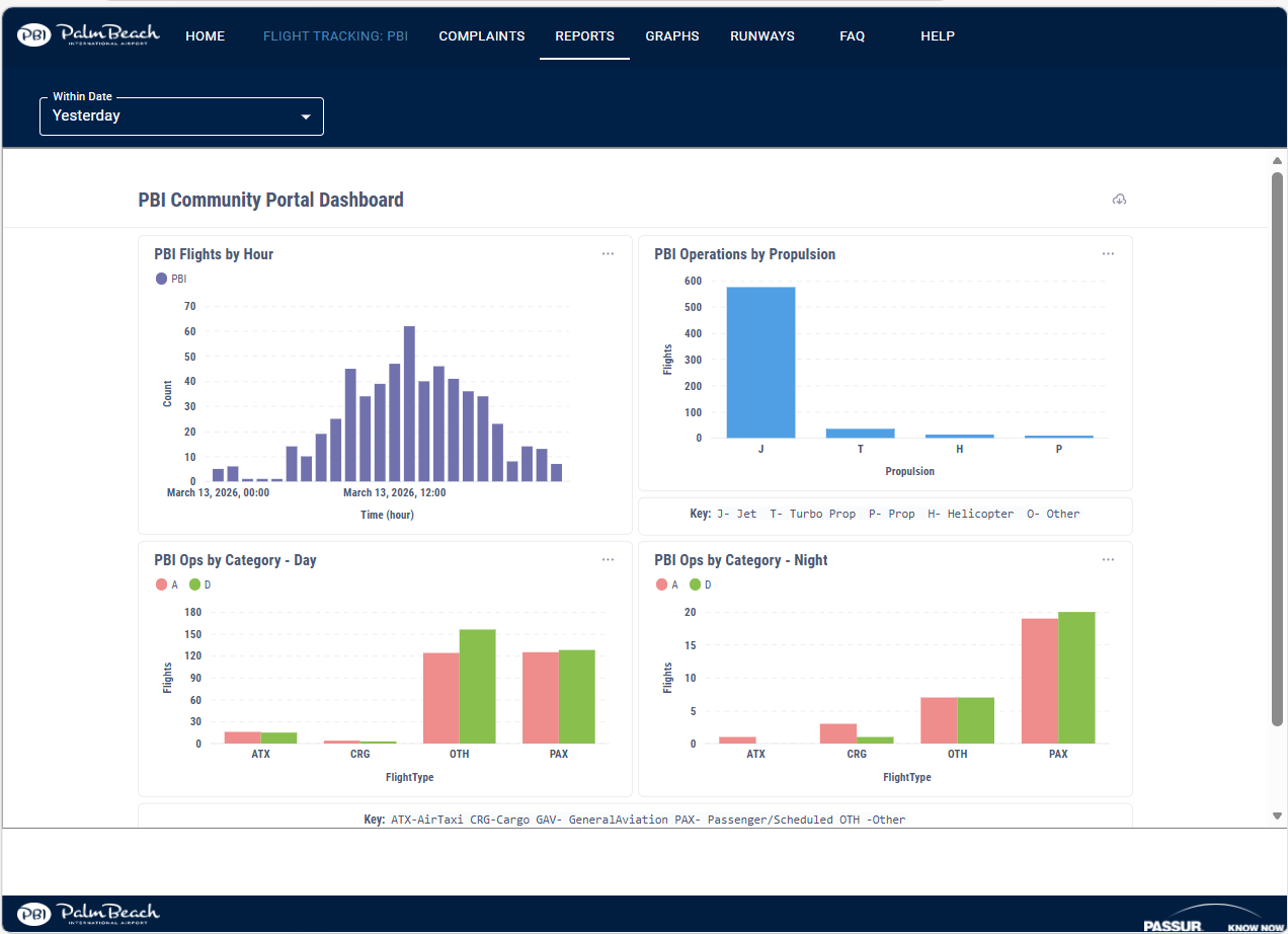
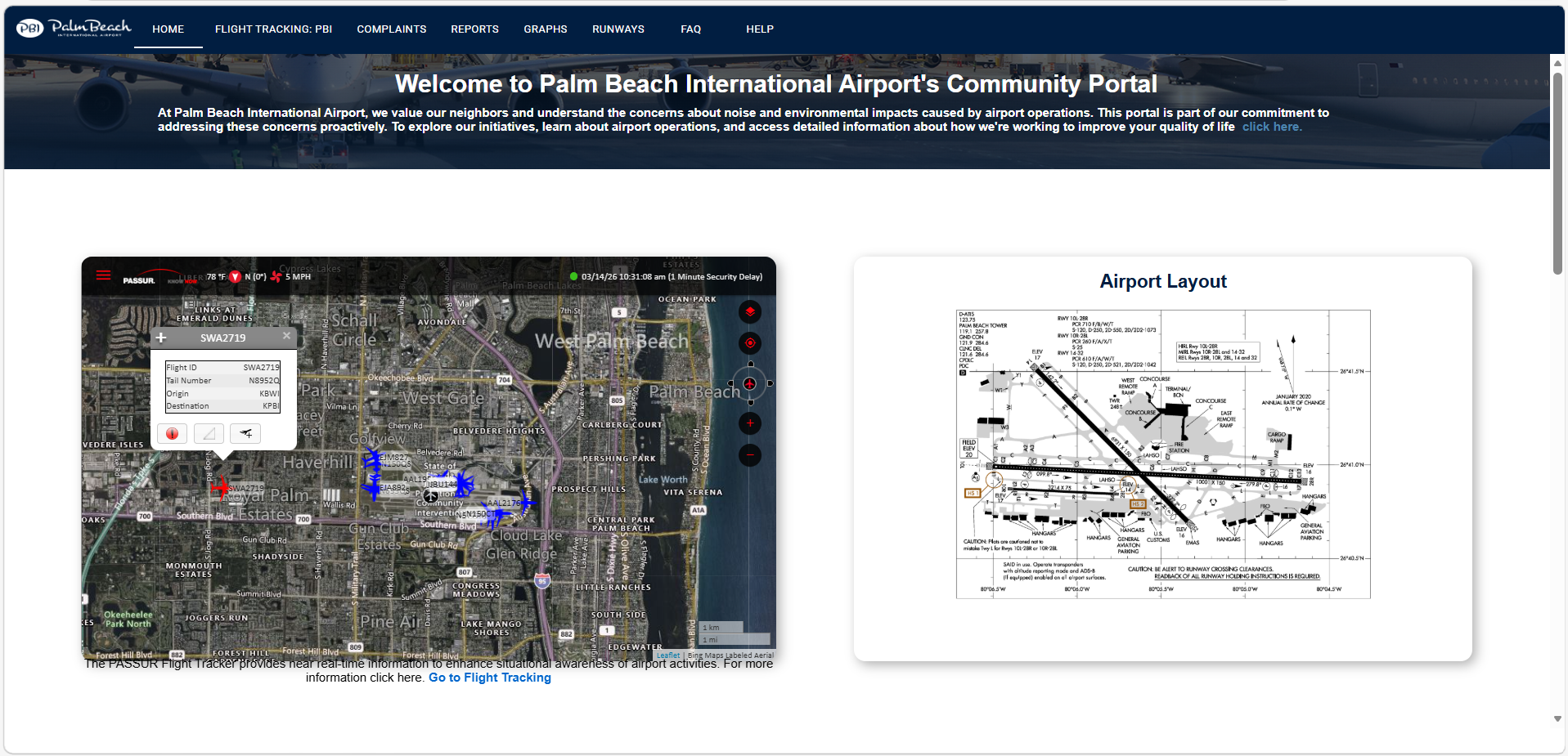
PASSUR can support interactive gadgets for aircraft mapping, weather, standard operations and noise reports, charts, news, FAQs, feedback entry, and more. Airports can add useful links from internal or external sources, tailor the UI, and select which gadgets appear on the community dashboard/portal.